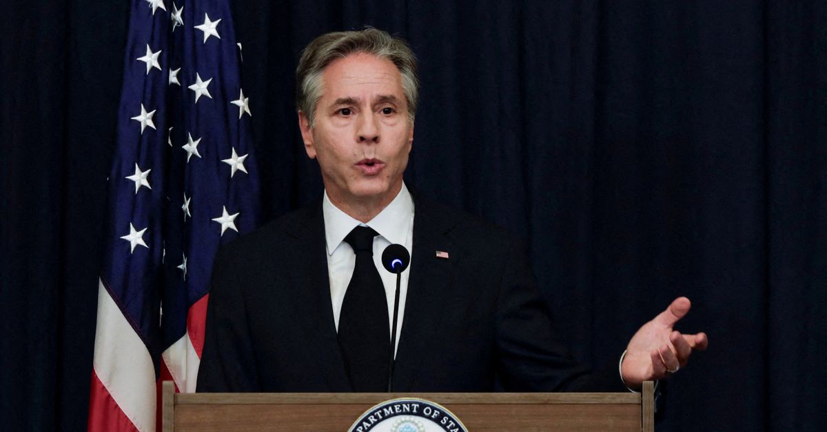
WASHINGTON, July 23 (Reuters) - U.S. Secretary of State Antony Blinken said that while Ukraine has reconquered half the territory that Russia initially seized in its invasion, Kyiv faced a “a very hard fight” to win back more.
“It’s already taken back about 50% of what was initially seized,” Blinken said in an interview to CNN on Sunday.
“These are still relatively early days of the counteroffensive. It is tough,” he said, adding: “It will not play out over the next week or two. We’re still looking I think at several months.”
Hopes that Ukraine could quickly clear Moscow’s forces from its territory following the launch of a summer counteroffensive are fading as Kyiv’s troops struggle to breach heavily entrenched Russian positions in the country’s south and east.
Late last month President Volodymyr Zelenskiy was quoted as saying that progress against Russian forces was “slower than desired” but that Kyiv would not be pressured into speeding it up.


Crimea, Transnistria, and the area outlined in bright red in Donetsk/Alchevsk have been occupied by Russia since before the war. So it is around 50% of the area that they took back
Blinken makes no distinction between what territory changed hands before 2022 and after. That wasn’t the claim
Edit: Even so, the red area that is not outlined still looks bigger than the blue areas.
It literally says in the post that he states Ukraine retook half of the area that Russia has occupied since the invasion.
Also it only looks that way because of optical tricks, your eyes see the connected areas (which most of the red is) as larger than the areas which aren’t connected as much (which a lot of the blue seems scattered). Looks about equal to me when you consider that. Plus map projections aren’t usually very accurate when it comes to area anyways, most distort it a ton.
“Map projections” lmao. The mercator map makes area look bigger the further north it is. So if anything, it would oversize the area that Ukraine has retaken in the north while undersizing the area that Russia has taken in the south. But within a small country, distortion from map projection will be negligible.
Still doesn’t change how wrong you are, as I’ve said it’s easy to see things which are different shapes as different sizes despite being the same size, e.g. people seeing cups which are different heights&widths as different sizes despite holding the same volume.
These maps are made using data of the actual area taken, not the other way around. The statistics this map was based off of around 50%, so this map shows around 50% being regained. (The actual percentage according to the ISW was 54% before the end of 2022).
I think you’re wrong actually. The map in question does not seem to use the ISW data.
This is the point you are referring to from ISW: https://understandingwar.org/backgrounder/russian-offensive-campaign-assessment-july-23-2023
(Aside, According to this arcticle, your 54% is not an actual hard percentage, but an estimate. From their own words, they measure the area of the map using Mercator projection, and state using a different projection would give you a different estimate. They don’t correct for projection error in their measurement, which as I pointed out earlier, biases the figure towards overestimating the recaptured territory in the north, and underestimating the area still under Russia’s control in the south. )
But compare LiveUA map to the timelapse here. Their data shows large areas under Russian control that are not shown as recaptured on the LiveUA map. I should not have said “looks like” when it is clear from the map that the red area, minus Crimea and pre-2022 DPR and LPR, is still much larger than the blue area.
Saying 50% has been recaptured is contingent upon how much territory Russia actually controlled in the Kharkiv and Kiev areas during the first few weeks of the war. This figure is insanely variable based on who you ask. In those first few weeks, Russian propagandists would greatly overstate how much territory in the north had been captured. In reality, Russia went into the northern area with a very small force and captured a few highways. If you paint with a very broad brush, all of the surrounding area came under Russian control, even if Russian troops never had a presence there. But that does not correspond to the strict reality.
Yes those are the areas Ukraine has to reconquista.